Safeguarding Sensitive Information for County Governments in GIS
In our increasingly digital world, Geographic Information Systems (GIS) have become indispensable tools for a wide range of industries. From urban planning to disaster management, GIS technology allows organizations to visualize, analyze, and interpret spatial data in ways that were previously unimaginable. However, as the use of GIS expands, so too do concerns about data security. Protecting sensitive information is paramount, not only to maintain the integrity of the data but also to safeguard privacy and comply with regulatory requirements.
The Importance of Data Security in GIS
Data security in GIS is crucial for several reasons. First and foremost, GIS often deals with sensitive information, such as personal data, proprietary business information, and critical infrastructure details. Unauthorized access to this data can lead to privacy breaches, financial losses, and even threats to public safety.
Moreover, GIS data is integral to decision-making processes. Any compromise in the accuracy or availability of this data can result in flawed analyses and poor decisions, potentially leading to serious consequences. Therefore, ensuring the confidentiality, integrity, and availability of GIS data is essential.
Key Threats to GIS Data Security
Several threats can compromise GIS data security, including:
- Unauthorized Access: Hackers or unauthorized users gaining access to GIS databases can lead to data theft, manipulation, or deletion.
- Data Breaches: Incidents where sensitive data is exposed to unauthorized parties, often due to weak security measures or insider threats.
- Malware and Ransomware: Malicious software can infiltrate GIS systems, corrupting or encrypting data and demanding ransom for its release.
- Insider Threats: Employees or contractors with access to GIS data may intentionally or unintentionally compromise data security.
Customizing Map Views for Enhanced Security
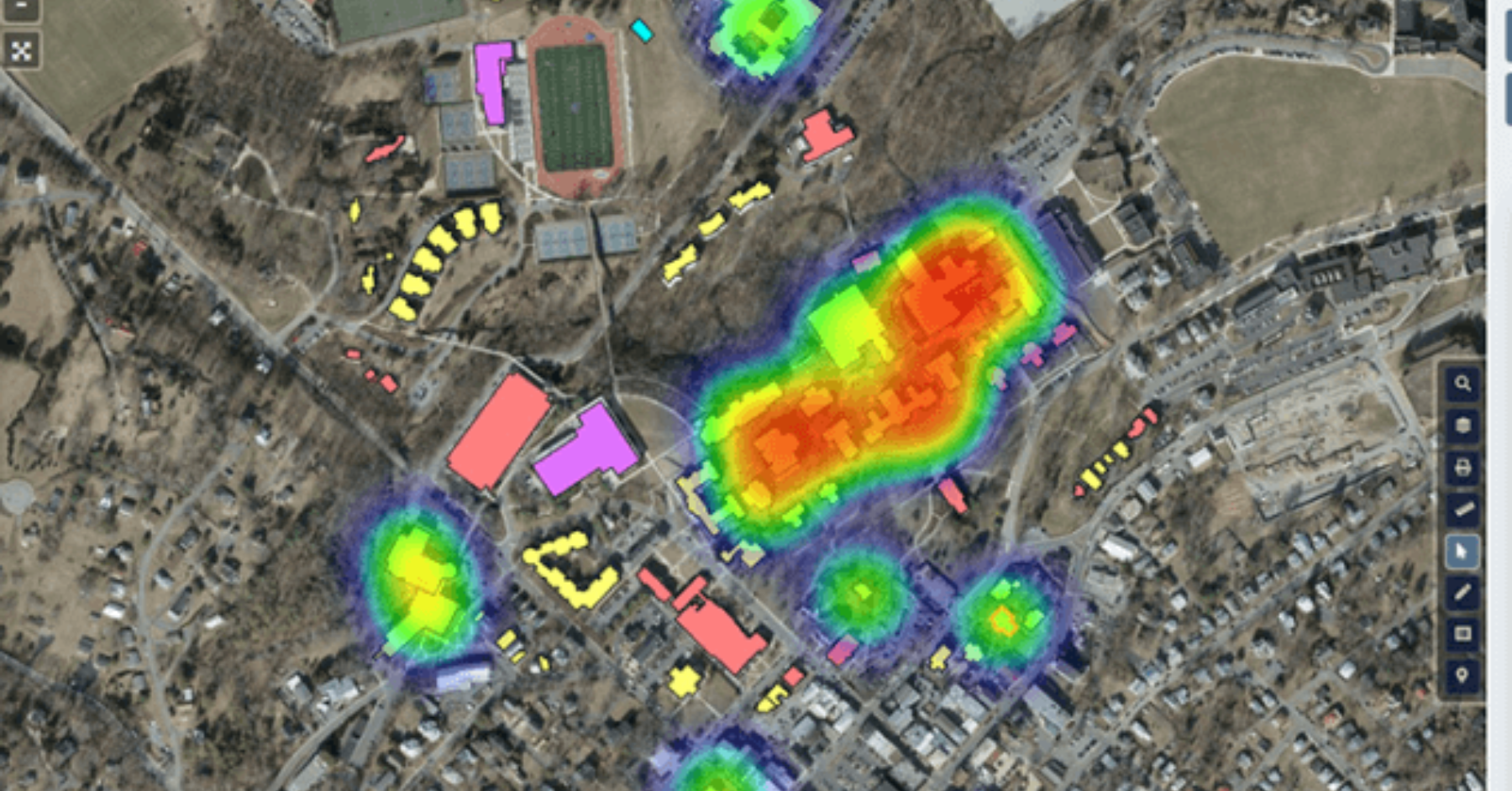
In addition to safeguarding data, customizing map views can also play a significant role in enhancing GIS data security. By tailoring map views to specific user roles and needs, organizations can limit the exposure of sensitive information.
At InteractiveGIS, we can assist with enhancing the security of your maps by offering:
- Web GIS hosting
- Data backups
- Server maintenance, auditing and monitoring
- Troubleshooting
- Role-based map access
- Controlled data sharing options
As GIS technology continues to evolve and integrate into various sectors, ensuring the security of GIS data becomes increasingly critical. By implementing robust security measures and customizing map views to control access to sensitive information, organizations can protect their valuable data assets. Remember, the key to effective GIS data security lies in a combination of technological solutions, user awareness, and proactive management practices.
Ready to take the next step? Take a look through our website to learn more and schedule your personalized demo today as well as download our guide, 8 Essential Web GIS Features You Didn’t Know Existed. Let Interactive GIS help you navigate the future of GIS with confidence and ease.


