Last week, we focused on how InteractiveGIS simplifies GIS by cutting through complexity, making spatial data accessible and easy to use for everyday decisions. This week, in part two of our three-part series, we’re exploring how our custom GIS platform, iGIS©, helps you save valuable time by streamlining data management. With iGIS, managing your spatial data becomes quick and efficient, allowing you to spend less time gathering and organizing information and more time on what truly matters. At InteractiveGIS, we’re committed to giving you the freedom to do more with less effort.

Part 2: How InteractiveGIS Saves You Time by Streamlining Data Management
Time is a precious resource for any organization. At InteractiveGIS, our goal is to give you back that time by simplifying the management of your spatial data. iGIS was built to help clients cut down on the time they spend gathering, processing, and analyzing information, empowering them to focus on what really matters.

Speeding Up Processes Across Industries
Imagine you’re managing a multi-campus school district. Traditionally, keeping track of facilities and maintenance data across several locations would take hours, if not days, requiring you to dig through various databases, verify information, and create detailed reports. With iGIS, this process is transformed. The platform allows you to view all locations at a glance, search for specific data points, and even analyze maintenance needs in real-time.
For businesses, municipalities, and educational institutions alike, iGIS helps eliminate the repetitive, time-consuming steps often associated with spatial data. By reducing manual processes, we’re helping teams spend less time looking for data and more time acting on it.

Real-World Example: Time Savings in Action
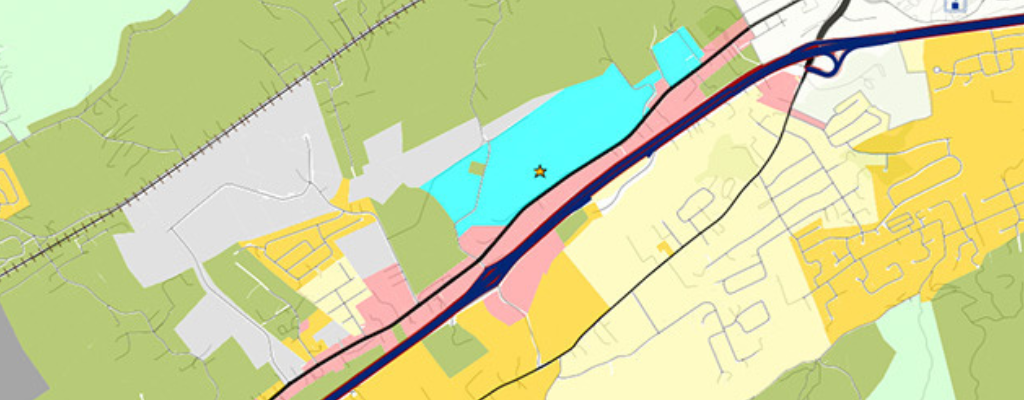
A regional utility provider using iGIS can access up-to-date maps showing infrastructure locations and conditions, significantly reducing the time it takes to plan maintenance or respond to outages. No more poring over old paper maps or sifting through various software systems. With a few clicks, they can visualize what needs attention and allocate resources more efficiently.

With iGIS, we don’t just offer GIS technology—we provide you with time savings that help you work smarter, not harder. Want more info? Contact us or click here to discover the eight essential web GIS tools for mapping that redefine community standards. Bringing the wow-factor to your users in three clicks or less!
Check out part three!


