10 Ways iGIS© Empowers Local Governments to Succeed in 2025
Are you making the most of your GIS technology? Local governments face growing demands for transparency, efficiency, and innovation, and having the right tools can make all the difference. That’s where InteractiveGIS’s iGIS© software steps in — a comprehensive solution providing faster workflows that can be tailored specifically for local government needs. From zoning and public works to crisis management, boosting tourism, and citizen engagement, iGIS empowers municipalities to work smarter, not harder. Read on to discover the top ten reasons why iGIS is the must-have GIS solution for 2025.
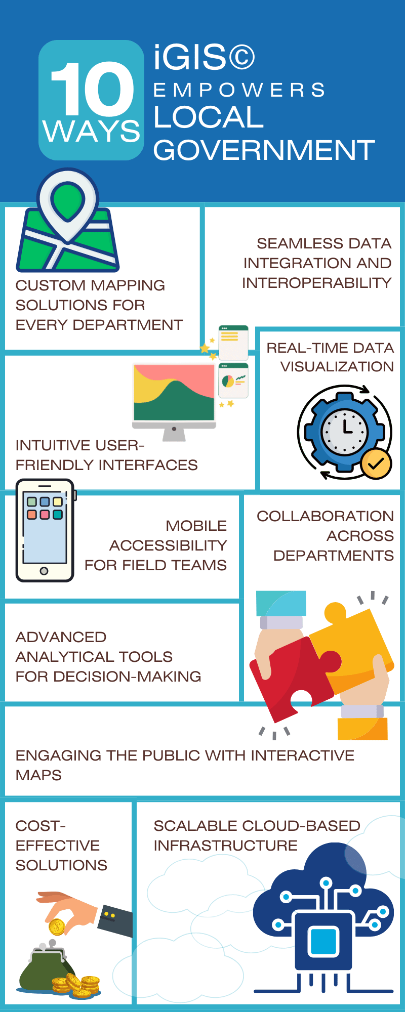
1. Custom Mapping Solutions for Every Department
Every local government operates differently, and InteractiveGIS recognizes that one size doesn’t fit all. With customizable mapping capabilities, iGIS allows municipalities to design maps for specific needs, whether it’s zoning enforcement, public works management, or emergency response planning. For instance, a county GIS department can create unique layers to visualize flood zones while also tracking ongoing road repairs. This flexibility ensures that every department has the tools it needs to succeed.
2. Seamless Data Integration and Interoperability
Gone are the days of siloed systems. iGIS integrates seamlessly with other third-party integrators, including 3D imagery by Matterport, permitting systems, property records, and utility networks. This interoperability streamlines workflows and reduces errors by ensuring consistent data across platforms. In addition to supporting third-party integration, InteractiveGIS’s highly skilled coding and design team can develop custom modules tailored to your specific needs, ensuring that iGIS fits perfectly into your unique workflows.
3. Intuitive User-Friendly Interfaces
GIS technology doesn’t have to be complicated. iGIS provides an intuitive interface that’s easy to use, even for non-technical staff. Training times are drastically reduced, meaning teams can start seeing results almost immediately. Whether it’s creating a zoning map or running a quick analysis, users of all skill levels can navigate iGIS with confidence.
4. Real-Time Data Visualization
Access to real-time data can be a game-changer for local governments. iGIS supports live data feeds, enabling users to monitor traffic patterns, weather conditions, and utility outages as they happen. For example, during a severe weather event, emergency managers can use iGIS to track storm progression or damages and coordinate response efforts, ensuring the safety of residents and timely, potentially lifesaving, local government response.
5. Mobile Accessibility for Field Teams
Field teams are the backbone of local government operations, and iGIS ensures they have the tools they need on the go. With mobile accessibility, staff can collect, update, and analyze data from their smartphones or tablets. This feature enhances accuracy while saving time by enabling technicians to update records directly from the field, eliminating the need to wait until they return to the office or rely on in-office staff for updates. For example, a field technician updating utility line conditions can upload changes directly from the site, ensuring immediate availability for other departments.
6. Collaboration Across Departments
Effective communication is vital in local government, and iGIS facilitates seamless collaboration across departments. Shared projects allow zoning officials, public works teams, and emergency responders to work together efficiently. Whether it’s planning a new development or managing disaster response, iGIS ensures everyone is on the same page with up-to-date data and shared mapping tools. For enhanced project coordination and citizen relationship management, iGIS integrates seamlessly with CoSpatia©, InteractiveGIS’s companion CRM software, making it easier to track communication and ensure streamlined workflows across departments.
7. Advanced Analytical Tools for Decision-Making
From urban planning to resource allocation, local governments rely on data-driven decisions. iGIS offers advanced spatial analysis tools that provide actionable insights. For example, planners can use iGIS to identify underserved areas for public parks or analyze traffic patterns to improve roadway design. iGIS also empowers law enforcement agencies to harness crime data for predictive policing helping identify high-risk areas and allocate resources more effectively. A recent study by ESRI highlights that local governments utilizing GIS for urban planning experience up to 40% more efficient resource distribution.
8. Engaging the Public with Interactive Maps
Transparency and citizen engagement are more important than ever. iGIS includes public-facing interactive maps that empower residents to explore zoning changes, track road closures, or even report issues like potholes. By involving the public, local governments can build trust and foster a sense of community participation.
9. Scalable Cloud-Based Infrastructure
As technology evolves, scalability and security are key concerns for local governments. iGIS’s cloud-based solutions provide both. With secure storage and scalable infrastructure, municipalities can easily adapt to changing demands. Cloud-based platforms eliminate the need to install software and manage licenses on individual devices, simplifying IT management and reducing administrative overhead. Plus, cloud-based access ensures teams can work from anywhere, fostering better collaboration during critical projects.
10. Cost-Effective Solutions
Budgets are tight, and local governments need tools that maximize value. iGIS offers an affordable pricing structure without sacrificing functionality. By reducing overhead costs and improving operational efficiency, iGIS ensures that your GIS investment delivers measurable returns. Studies show that municipalities using cloud-based GIS solutions save on IT infrastructure costs compared to traditional systems.
Why iGIS?
InteractiveGIS’s iGIS software is more than just a tool—it’s a solution tailored to the unique challenges faced by local governments. Whether you’re streamlining internal processes, engaging your community, or planning for the future, iGIS equips you with the features you need to succeed.
Ready to Get Started? Make 2025 the year your municipality transforms how it operates. Learn more about iGIS by visiting InteractiveGIS, requesting a free informational download, or contact us today to schedule a demo and see the difference for yourself!


