Streamlining Disaster Management: Custom Module for Enhanced Efficiency and Recordkeeping
In the face of natural disasters, such as the recent devastation caused by Hurricane Helene, timely and effective response efforts are more important than ever for local government entities. With the need to streamline communication, assessment, and action during emergencies, InteractiveGIS is offering an innovative solution: a customizable work order module within iGIS©, previously designed for ongoing parcel maintenance but modified specifically for disaster response
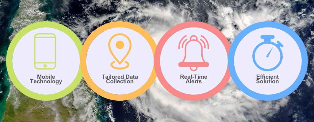
Here are some of its highlighted features:
- Empowering Field Technicians with Mobile Technology
InteractiveGIS’s custom web GIS platform is mobile-friendly, enabling field technicians to navigate affected areas efficiently using mobile devices. With GPS precision, these professionals can pinpoint exact locations, quickly assess conditions, and prioritize areas requiring immediate attention. This real-time visibility speeds up decision-making during critical moments and ensures faster, more accurate responses. - Tailored Data Collection
A standout feature of the custom work order module is its flexibility in data collection. Technicians can add custom fields directly in the field, tailoring the module to meet specific needs as situations evolve. No need to wait for back-end modifications—the customization happens on-the-go. This allows governments to document conditions, categorize damage, and track necessary actions in real-time, offering a comprehensive understanding of the disaster’s impact. - Real-Time Status and Alerts
During a disaster, rapid communication is vital. InteractiveGIS’s work order module includes a built-in status and alert system that facilitates smooth communication between field teams and command centers. Whether it’s sending alerts about worsening conditions or sharing real-time updates on repair progress, the system ensures that everyone remains informed and coordinated, allowing for a more effective response. - An Efficient Solution for Local Governments
During an unplanned natural disaster, local governments play a pivotal role in disaster response to ensure the safety of the residents and the infrastructure. The custom work order module from InteractiveGIS is designed to help them respond more efficiently and to streamline communication when time matters.
Here are a few glimpses of the work order module from a mobile device:
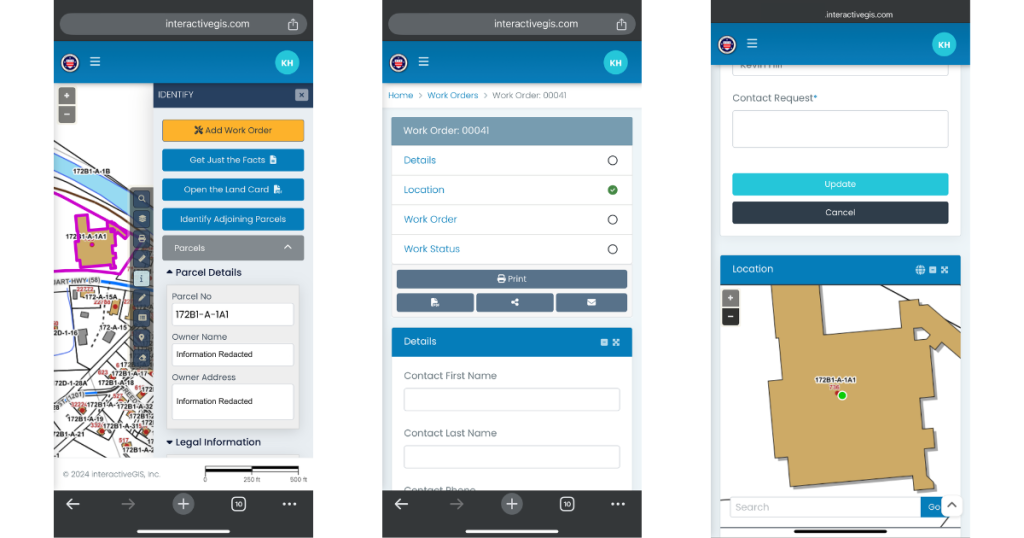
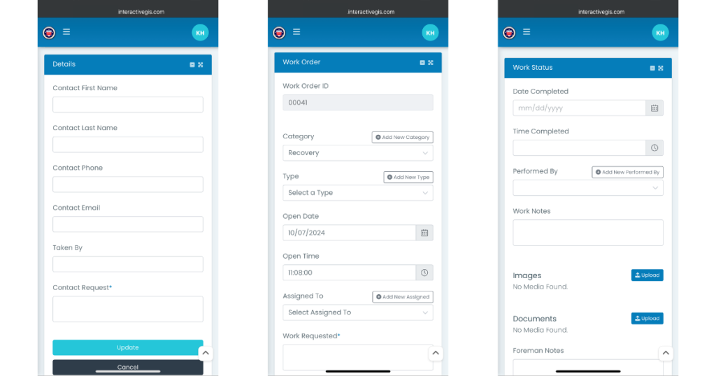
to an individual, give status updates, import images and documents, or make custom notes.
By integrating this module into their response strategy, local governments can improve operational efficiency, enhance data collection, and foster better communication across teams. In the wake of a natural disaster, solutions like this custom work order module offer invaluable support for navigating complex disaster scenarios, ultimately saving time and providing a more organized approach to recordkeeping.
For more information on how InteractiveGIS can support your disaster response efforts, contact us or request a free demo with your data. Together, we can build a more resilient future!
Cover Image Source: Virginia Department of Emergency Management
