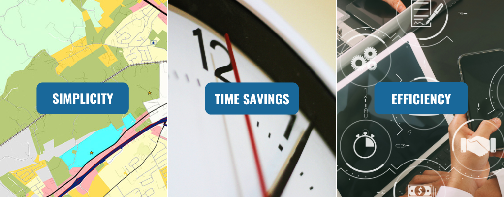
When it comes to web-based GIS, it’s easy to think of it as just software. But with InteractiveGIS, what you’re really getting is simplicity, time savings, and efficiency. This three-part blog series will dive into how our custom GIS platform, iGIS©, goes beyond being just a tool. We provide you with the freedom to get more done in less time—by cutting through complexity, optimizing workflows, and ultimately letting you focus on what really matters.

Part 1: How InteractiveGIS Brings Simplicity to Complex Spatial Data
At InteractiveGIS, we believe that the power of a GIS platform lies not in its complexity, but in how easily it can make sense of data. iGIS is designed with one primary goal: to cut through complexity and make spatial data intuitive, accessible, and easy to use for all levels of users. No need to be a GIS expert or tech-savvy professional; our platform was built with simplicity in mind.

Breaking Down Barriers to GIS
For many organizations, GIS data can be intimidating, often requiring specialized training to operate. With iGIS, we bring this data down to earth. Imagine a public works department responsible for managing a city’s infrastructure, from road maintenance to sewer lines. Instead of navigating complex, technical software, employees can easily access, view, and update essential information on the iGIS platform with just a few clicks. By simplifying the process of inputting, organizing, and accessing spatial data, iGIS empowers public works teams to make informed decisions efficiently, without a steep learning curve.

Real-World Example: Simplicity in Action
Consider a local government managing a city’s zoning and property data. Traditionally, teams might spend hours tracking down maps, verifying boundaries, or trying to interpret complex GIS systems. With iGIS, they can streamline these processes, quickly overlay zoning boundaries, and update maps with a user-friendly interface. This reduces the guesswork and allows city officials to make data-driven decisions with confidence.

InteractiveGIS isn’t just about delivering software; it’s about delivering simplicity. With iGIS, we make GIS accessible to anyone who needs it—saving time, reducing frustration, and improving decision-making at every level. Want more info? Contact us or click here to discover the eight essential web GIS tools for mapping that redefine community standards. Bringing the wow-factor to your users in three clicks or less!
Check out part two and part three of our series!


