Remember when “in the cloud” conjured images of fluffy white formations or a person lost in absent-minded reverie? Today, it represents a revolutionary digital landscape where data dances, information interacts, and geographic insights come alive at the speed of thought.
In recent years, Geographic Information Systems (GIS) have undergone a significant transformation, moving from traditional desktop-based platforms to cloud-based solutions. This shift has brought about numerous benefits for organizations across various sectors, particularly government agencies and businesses dealing with large volumes of geospatial data.

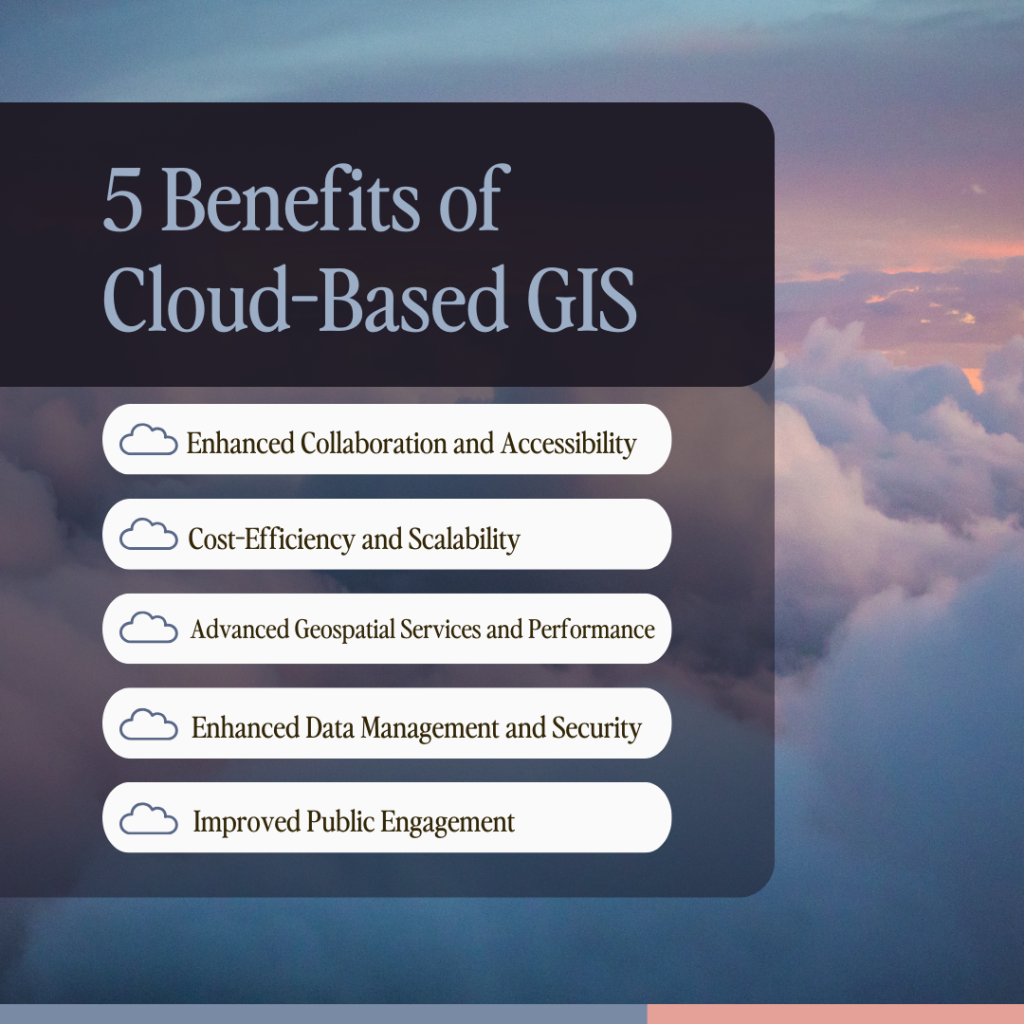
Enhanced Collaboration and Accessibility
One of the primary advantages of cloud-based GIS is its ability to facilitate seamless collaboration and improve accessibility. The Federal Highway Administration (FHWA) notes that cloud technologies support GIS applications by streamlining workflows and allowing data sharing among a broader audience. This is particularly crucial for government agencies that need to coordinate across departments and share information efficiently. Cloud GIS enables users to access their geospatial data and tools from anywhere, promoting real-time collaboration and data updates. This feature is especially valuable for field workers who need to input or access data on-the-go, enhancing overall productivity and decision-making processes.
Cost-Efficiency and Scalability
Cloud-based GIS solutions offer significant cost benefits compared to traditional desktop systems. Government agencies, organizations and businesses can avoid large upfront investments in hardware and software by adopting cloud solutions. Instead, they can scale their usage based on current demand, paying only for what they use. This flexibility is a great advantage for budget management, allowing for more efficient resource allocation.
Advanced Geospatial Services and Performance
Cloud-based GIS platforms provide access to sophisticated hardware and software resources virtually, offering full capabilities for data creation, analysis, editing, and visualization. The Federal News Network reports that cloud GIS enables the development of interactive web maps with smart, data-driven mapping styles and intuitive analysis tools. These features allow organizations to gain deeper location intelligence and make more informed decisions.
Enhanced Data Management and Security
Cloud-based GIS solutions excel in data management and security. They provide automated backup solutions and disaster recovery options, minimizing the risk of data loss and ensuring business continuity. The high availability and redundancy of cloud services contribute to improved operational efficiency and user satisfaction. All customer data is kept on computer systems protected from unauthorized access, using industry-standard access control systems, enhancing data safety compared to old-style on-premises systems.
Improved Public Engagement
Cloud-based GIS has revolutionized how organizations, especially localities, engage with the public. It enables the creation of interactive maps and dashboards that provide citizens with real-time insights into community activities and issues. This level of transparency and accessibility fosters trust and encourages active citizen participation in community improvement efforts.
Challenges and Considerations
While the benefits of cloud-based GIS are numerous, it’s important to acknowledge the challenges. These may include potential issues with data migration, integration with existing systems, and ensuring compliance with security regulations. However, many organizations find that the advantages often outweigh these challenges.
The Future of GIS
The transition to cloud-based GIS represents a significant opportunity for companies, localities, and organizations to enhance their geospatial capabilities, improve collaboration, and address complex challenges more effectively. Cloud-based GIS offers enhanced collaboration, cost-efficiency, advanced capabilities, improved data management, and better public engagement. As the GIS industry continues to evolve, solutions like these will play a crucial role in helping organizations harness the full potential of geospatial technology.
Ready to ascend to new heights and explore cloud-based GIS solutions for your organization? InteractiveGIS offers iGIS©, an affordable and customizable platform designed to meet modern geospatial needs. We invite you to consider our solution and take advantage of a free demo using your own data to experience firsthand how cloud-based GIS can transform your geospatial operations.


