When Thomas Road Baptist Church (TRBC) in Lynchburg, Virginia, set out to celebrate its 70th anniversary, the goal wasn’t just a Sunday service or a commemorative program. It was something far more ambitious: knock on every single door in the city. All 30,000 of them.
The initiative, called “Jesus to the City,” was inspired by the church’s own founding story. In 1956, their pastor launched Thomas Road by personally walking door-to-door through Lynchburg, inviting neighbors to be part of what he was building. Seven decades later, the church wanted to go back to those roots — not as a nostalgic gesture, but as a living act of mission. Volunteers would fan out across the city, deliver a gift bag containing a Bible, an information card, a free drink coupon, and an invitation to Easter services, and personally offer to pray with whoever answered the door.
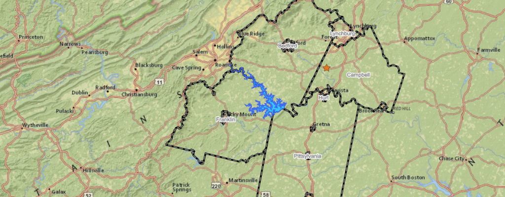
The pastor framed Lynchburg itself as the church’s “Jerusalem” — a deliberate echo of Acts 1:8, where the call begins at home before extending outward. Every household in the city was considered part of the mission field, which made geographic completeness not just a logistical goal, but a theological one.
The vision was compelling. The logistics, however, were another matter entirely.
The Problem: 30,000 Doors, No System
Coordinating a volunteer-driven, citywide effort without a tracking system is a bit like trying to paint a house while blindfolded — you might cover some ground, but you won’t really know what you’ve missed. With a city the size of Lynchburg and hundreds of volunteers spread across dozens of neighborhoods, the church needed a way to assign geographic territories, track which doors had been visited, and monitor overall progress across the month-long campaign.
Spreadsheets weren’t going to cut it. A paper map on a bulletin board wasn’t going to cut it either. TRBC needed something that could handle the scale of the effort, be updated in real time by volunteers in the field, and give church leadership a clear, visual picture of how the campaign was progressing week by week.
That’s where InteractiveGIS came in.
The Solution: A Custom Map-Driven Data Integration
InteractiveGIS provided a map-driven solution that linked the data results captured by the volunteers within iGIS® specifically for the Jesus to the City campaign. The setup was designed with two things in mind — simplicity for volunteers and clarity for leadership.
On the volunteer side, congregation members signed up for geographic regions within the city. Each assigned territory was mapped and visible within the platform, giving volunteers a clear picture of the streets and homes they were responsible for visiting. A custom data collection module, the same kind of mobile-friendly field tool that iGIS® offers for government clients tracking infrastructure or disaster response, allowed volunteers to update visit status directly from their phones as they went door to door. No office required, no paper forms to reconcile later.
On the church leadership side, the map told the story at a glance. Each week, the dashboard updated with color-coded progress, showing which areas had been reached and which still needed coverage. Neighborhoods that were complete showed one color; areas still in progress showed another. Leadership could quickly identify gaps, reassign volunteers where needed, and communicate progress to the congregation with a visual that actually meant something.
Why This Works Beyond Government
iGIS® is often associated with local and county government work — parcel management, zoning maps, utility tracking, emergency response — and for good reason. That’s where web-based GIS has historically lived. But the Jesus to the City project is a clear example of why the platform’s value isn’t tied to a government context. Any organization managing a distributed team, tracking activity across a geographic area, and needing real-time visibility into progress can benefit from the same underlying tools.
Religious organizations running outreach campaigns, coordinating benevolence efforts, or tracking ministry engagement across a city or region face many of the same logistical challenges as a public works department coordinating field crews. The geography is different. The mission is different. The technology that solves the problem is the same.
The Bigger Picture
Churches and faith-based organizations aren’t typically the first sector that comes to mind when you think about GIS technology, but maybe they should be. Many large congregations operate across multiple campuses, coordinate volunteers across wide geographic areas, and run community programs that benefit from location-based data. Knowing where your congregation lives, where benevolence needs are concentrated, or where outreach efforts haven’t yet reached are all spatial questions. And spatial questions have spatial answers.
Thomas Road Baptist Church’s Jesus to the City campaign demonstrated that with the right tools, even the most ambitious grassroots effort can be managed with precision. A city of 30,000 doors is an overwhelming number until you put it on a map — and then it becomes a plan.
If your organization is managing volunteers, coordinating outreach, or trying to track efforts across a geographic area, the tools that help local governments run more efficiently can work just as well for you. Reach out to our team to learn more about what a custom iGIS® solution could look like for your organization.
Your Data. Our Technology. One Solution. (540) 239-0950 | info@interactivegis.com