When the Forecast Meets the Map: Why Weather Belongs in Your GIS
Imagine pulling up your local government map and seeing, in real time, where a thunderstorm is moving, which neighborhoods are under a heat advisory, or how rainfall is tracking across a flood-prone area. Now imagine that same map helping your road crews plan safer routes, your emergency team respond faster, or your utility company prepare for outages—before they happen.
That’s exactly what the new weather layer in iGIS© makes possible.
By integrating live radar, temperature, wind, precipitation, and severe weather alerts directly into your GIS, you can turn static maps into real-time decision tools. Whether you’re a local government planning for storm response or a private company managing assets in the field, adding weather to your map changes everything.
What Local Governments Can Do with a Weather Layer
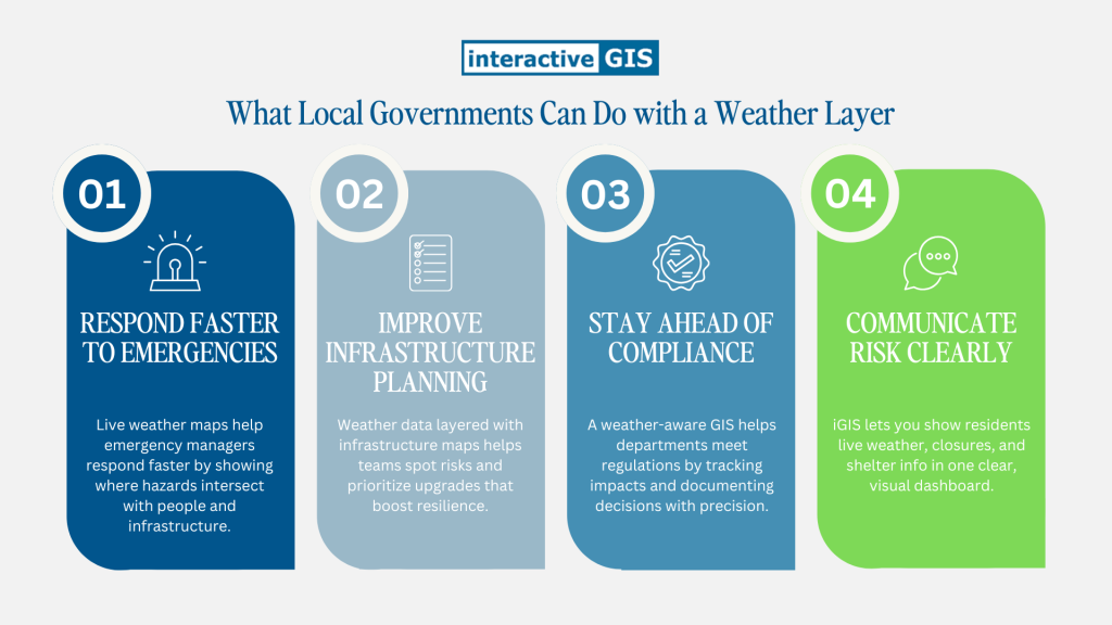
1. Respond faster to emergencies
Knowing where weather hazards are unfolding helps emergency managers make faster, smarter calls. Overlay storm tracks with population density or vulnerable facilities. Dispatch resources to the right places. Keep the public better informed through interactive public maps.
2. Improve infrastructure planning
Weather data reveals where roads flood, where winter icing is common, or where high winds pose risks to above-ground utilities. When layered with asset and elevation data, it helps teams prioritize upgrades and strengthen resilience.
3. Stay ahead of compliance
From MS4 stormwater requirements to heat-related safety guidance, environmental regulations often hinge on weather. With a weather-aware GIS, departments can track impacts and document decisions with greater precision.
4. Communicate risk clearly
Rather than sharing a text-heavy warning, show residents what’s happening. iGIS users can create simple, visual public dashboards that combine live weather with road closures, emergency shelter status, and more.
Private Sector: Why Weather Mapping Pays Off

1. Utilities and energy providers
Live wind speeds, lightning, and temperature swings help predict outages or strain. Weather layers layered onto infrastructure maps make it easier to dispatch crews and restore service quickly.
2. Construction and logistics companies
High heat, strong winds, or freezing rain can halt work and delay deliveries. With a weather-integrated map, teams can make on-the-ground decisions based on the latest data—without switching platforms.
3. Agriculture and food systems
For farmers, co-ops, and food distributors, weather isn’t just interesting—it’s mission-critical. GIS-based weather mapping helps time planting, protect crops, and plan safer routes for harvest and delivery.
4. Insurers and adjusters
Tracking hail storms or hurricane paths over client parcels speeds up damage assessments and helps validate claims. It’s faster, more transparent, and easier to scale.
Bonus read: Why Private Weather Layers Are a Smart Investment
What Makes a Weather Layer Powerful
It’s not just the data—it’s what you do with it.
- Live radar and forecasts update automatically, so users always see the latest conditions.
- Custom alerts let teams set triggers based on wind speed, temperature, or severe weather alerts—so no one misses critical changes.
- Layer integration allows users to compare weather with roads, utilities, assets, and population data in a single view.
Need to know how a storm might affect your broadband buildout? Want to flag schools within an air quality warning zone? It’s all right there.
Explore more: High-Resolution Weather for GIS
The Bottom Line
Weather doesn’t just affect your day—it affects your operations. And when it’s built directly into your GIS, you’re not reacting. You’re planning. You’re communicating. You’re protecting people, property, and progress.
The new iGIS© weather layer brings dynamic insight to every map you create. It’s one more way we’re helping you make smart, real-time decisions that matter. Want to learn more? You can schedule a free demo using your data to see if iGIS© is a good fit for you.