Case Study: Wise County Virginia Mapping Integrates with EagleView for Streamlined Processes
Wise, Virginia, is a small town located in the Appalachian region of the state, serving as the county seat of Wise County. Nestled in the scenic mountains, Wise is known for its rich history, vibrant community, and proximity to outdoor recreational activities. The town has a strong connection to coal mining, which has shaped its cultural and economic landscape over the years.
Wise County’s government is structured to provide various services to its residents, including public safety, education, infrastructure maintenance, and economic development. The county government is responsible for managing resources and planning for sustainable growth to improve the quality of life for its citizens. One of the ways that they carry out their planning and public services is through utilizing GIS. We are honored to have them as one of our clients and currently provide custom GIS mapping solutions and host their internal and external mapping through our iGIS platform.
For this case study, we will identify a sticking point that the county government was having with their mapping and one simple, customized solution that we provided to make their work processes more streamlined and efficient.
Problem: County employees needed access to oblique aerial imagery – aerials taken at a 45º angle above a parcel – for the purpose of reassessment of property and for utilization for emergency services. Previously, the only way to access this aerial imagery was to click out of the web GIS system to different software, which was inefficient and cumbersome. They were seeking a solution to reduce frustration and create a more streamlined workflow.
Solution: InteractiveGIS partnered with EagleView – a technology provider of aerial imagery, data analytics, and geographic information system mapping – to integrate their services directly into our iGIS platform for Wise County’s web GIS. EagleView captures and provides access to high-resolution, frequently-updated aerial images, covering 94% of the U.S. population. Their imagery is available in resolutions from 1-inch to 6-inch ground sampling distance (GSD) and includes both top-down and oblique views for comprehensive site inspections and assessments.
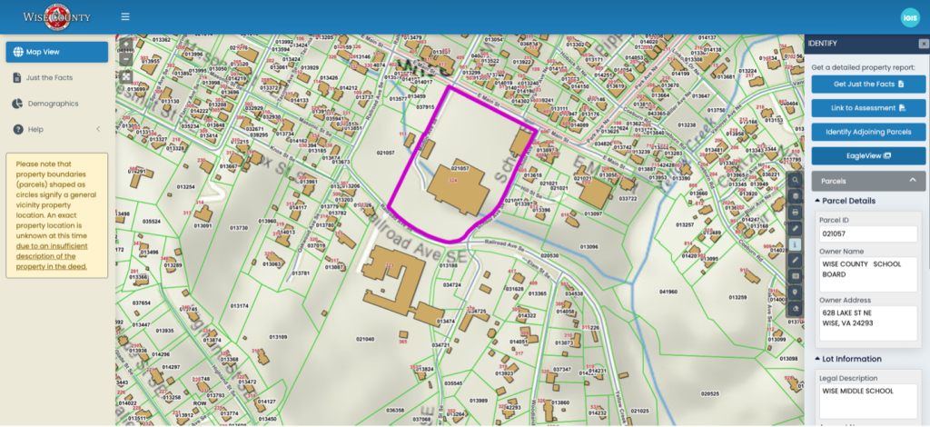
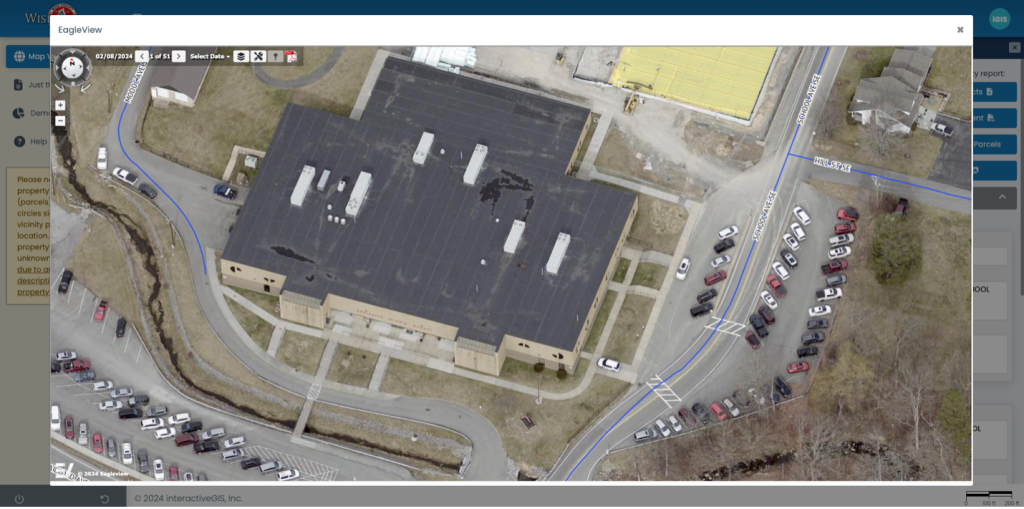
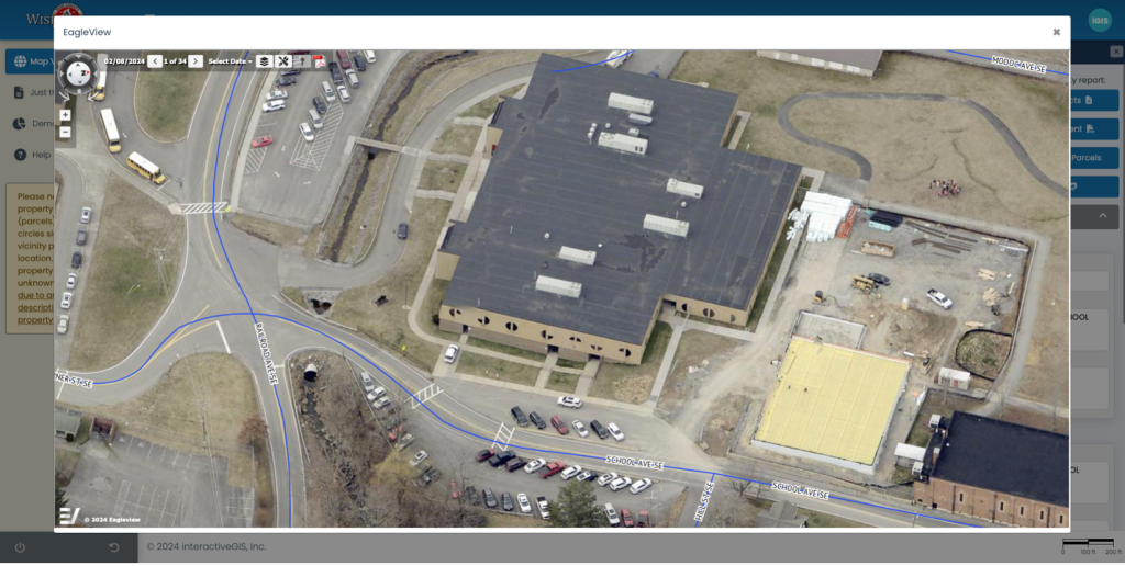
Now, with a click of a button, map users in Wise County can directly access the EagleView images and can also easily rotate through views directly on the screen. This is a great example of a customer highlighting a felt need and our company providing a customized, workable, and efficient solution that is reliable and fairly priced! Please see below for visuals of how this integration works in action.


The user can zoom in for high-quality imagery.

Integrating this solution through partnering with EagleView allowed us to provide a mapping solution for Wise County that helped to eliminate frustrations of managing multiple windows, streamlined the map view process and allowed for a more efficient workflow. Needing a customized solution for your mapping system? Take a look through our website to learn more and schedule your personalized demo today as well as download our guide, 8 Essential Web GIS Features You Didn’t Know Existed. Let Interactive GIS help you navigate the future of GIS with confidence and ease.
With Interactive GIS, the possibilities are endless. Embrace the future of geospatial data management and discover how you can streamline your processes, save costs, and deliver unparalleled services with just a few clicks.


