Every map tells a story, but understanding how that story is built takes more than just knowing where things are. It requires seeing patterns, questioning data, and connecting what’s on the screen to what’s on the ground. This kind of awareness, known as geospatial thinking, is becoming one of the most valuable skills in today’s data-driven world, and a new open-access book makes it easier than ever to learn.
Just released two weeks ago, An Introduction to Geospatial Thinking and Open Source GIS is an approachable text of how to think spatially. Written by Jennifer Moore, Head of Data Services at Washington University Libraries and instructor in Global Studies, the book blends her teaching experience with real-world data practice. Designed as an open educational resource (OER) through WashU Libraries, it lays out the fundamentals of geographic information systems (GIS) with clarity that makes it easy for newcomers to find their footing. For anyone who has stared at a GIS dashboard and wondered how data transforms into patterns and insights, the guide provides a reassuring answer: by learning to think geospatially.
A Foundation for the Curious
The book is divided into two parts. The first, “Geospatial Thinking,” builds conceptual understanding by covering spatial data types, coordinate systems, and the logic behind mapping decisions. It explains what GIS professionals mean when they talk about data layers or spatial relationships, but without assuming readers have prior technical experience.
This section feels less like a textbook and more like a guided conversation. Moore introduces terminology with plain-language examples and poses thought questions that encourage readers to connect GIS ideas to familiar experiences. Why do certain data points cluster together? How can visualizing information spatially reveal patterns that spreadsheets hide?
The goal is less about memorizing definitions and more about cultivating a mindset — a way of questioning the world that sees geography as integral to understanding problems.
Practice Through Open Tools
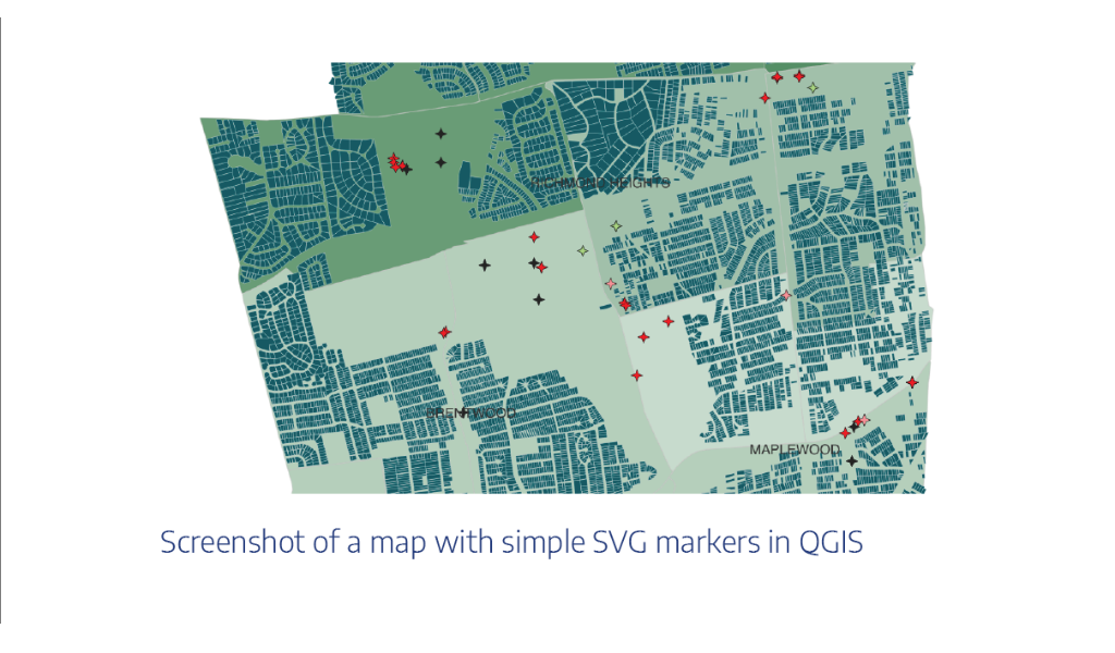
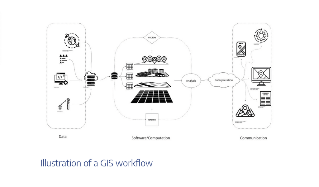
The second half of the book shifts from theory to practice using QGIS, a powerful open-source alternative to proprietary GIS software. Here, Moore provides step-by-step exercises that walk readers through obtaining, cleaning, and visualizing spatial data.
Each exercise builds naturally on the previous one, helping readers progress from basic navigation to more complex map analysis. She keeps the focus on critical thinking, not button-clicking. Instead of following rote procedures, students learn why each step matters — why projection systems influence accuracy or how symbology can change the meaning of a map.
The use of QGIS is especially important. By rooting instruction in open-source software, Moore ensures that anyone with curiosity and a computer can begin learning GIS without needing expensive licenses. That accessibility aligns perfectly with the open-education ethos behind the book’s publication and reinforces the value of removing financial barriers to geospatial learning.
GIS for the Age of AI
Moore frames the need for geospatial literacy in a way that feels particularly timely. With the rise of generative AI, automation can produce maps and analyses at lightning speed, but without human understanding those outputs risk being misleading.
As she notes, it’s more important than ever for students to understand the nature of geospatial data, how to form a geospatial question, and the power of mapping. This book isn’t just about learning GIS tools; it’s about learning to think critically about what those tools produce.
That distinction matters. In classrooms and professional settings alike, GIS users are being asked to evaluate data sources, assess uncertainty, and communicate spatial findings responsibly. An Introduction to Geospatial Thinking and Open Source GIS gives readers the intellectual framework to do exactly that, grounding the technical process in thoughtful interpretation.
Built for Educators, Ready for Everyone
Although the material was developed for Washington University’s GIS Bootcamp — part of the School of Continuing and Professional Studies (CAPS) — its scope extends far beyond a single course. The modular structure makes it useful for educators building curriculum, for professionals exploring open-source GIS on their own, or for organizations introducing staff to geospatial concepts.
Because it’s published as an OER, instructors can freely adapt the text to their needs, adding local examples, linking new datasets, or translating exercises into other languages. That flexibility is one of its greatest strengths. It positions the book as a living resource rather than a static manual — one that can evolve alongside technology and pedagogy.
A Bridge Between Disciplines
What sets this resource apart is how it invites collaboration between fields. Moore doesn’t treat GIS as a purely technical specialty but as a bridge connecting disciplines such as urban planning, environmental science, public health, and the humanities.
When discussing spatial data ethics or map interpretation, the text prompts readers to consider context. Who created this data? What’s missing? How might visual representation shape perception? These questions resonate across professions, encouraging readers to think critically about how location-based information influences decision-making.
In that way, the book helps demystify GIS for people who might otherwise see it as inaccessible. A public health researcher can use these concepts to map disease clusters. A historian can apply them to visualize trade routes or migration patterns. A city planner can better understand how infrastructure choices affect neighborhoods — making this resource valuable across sectors that rely on spatial thinking.
Anchored in Proven Scholarship
Moore acknowledges the foundational works that informed her writing, including Essentials of Geographic Information Systems by Jonathan Campbell and Michael Shin and Spatial Thinking in Planning Practice by Yiping Fang and colleagues. But she doesn’t merely compile existing material; she refines and recontextualizes it for today’s learners, adding new exercises and examples rooted in open-source workflows. The result feels both grounded and fresh.
Why It Matters
GIS education is evolving quickly. Tools are more accessible, but the underlying need for spatial reasoning remains the same. Moore’s book arrives at a moment when both educators and professionals are seeking ways to build data literacy that keeps pace with technology.
By emphasizing open access, practical skill-building, and conceptual clarity, An Introduction to Geospatial Thinking and Open Source GIS fills a critical gap. It reminds readers that maps aren’t just visuals; they’re arguments about space, shaped by choices in data and design. Understanding that process is what transforms users into true spatial thinkers.
For students beginning their journey into GIS, this text offers a solid foundation. For educators, it provides adaptable content ready to integrate into classrooms or training programs. And for anyone curious about how the world’s data connects through geography, it’s a welcoming place to start. The full book is available to download for free through Washington University Libraries at https://wustl.pressbooks.pub/geospatialthinking/.