


If you work in local government, July 1 probably feels less like the start of summer and more like the start of a new scorecard. New budget, new priorities, and usually a fresh round of the question every department asks itself this time of year — are we actually getting what we need out of the tools we’re paying for?
GIS tends to get lumped into “the software we already have,” which means it rarely gets a second look once it’s running. But a new fiscal year is exactly the moment to give it one. You’ve got a clean budget line, a few months before things get busy again, and an honest opportunity to ask whether your current setup is pulling its weight or just getting renewed out of habit.
Here are five ways to think through that evaluation without turning it into a six-month project.
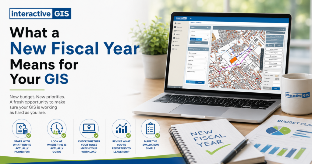
1. Start With What You’re Actually Paying For
Pull up your GIS line items and match them against what’s actually being used. Is your team using the full platform, or mostly one or two features while the rest sits idle? Are you paying for server maintenance and IT support on top of your software, even though those costs are bundled into a lot of modern web-based platforms? It’s a simple exercise, but most departments haven’t done it in years, and the answers are often more revealing than expected.
2. Look at Where Time Is Actually Going
Budgets are about money, but they’re also about staff hours, and GIS has a way of eating both. If your team spends more time fielding one-off map requests than building anything strategic, that’s worth noting. If the person who “knows how the system works” is the only one who can troubleshoot it, that’s a budget risk hiding as a staffing issue. A new fiscal year is a fair checkpoint to ask whether your GIS setup is saving time or just shifting where the time goes.
3. Check Whether Your Tools Match Your Workload
A lot of local governments are running GIS systems sized for a different era of their organization, either built for a much smaller dataset or never upgraded as needs grew. If your team is juggling spreadsheets, outdated desktop software, and a patchwork of workarounds just to keep maps current, that’s a sign the platform hasn’t kept pace with the work. Web-based GIS platforms like iGIS® exist largely to solve that mismatch, letting departments manage and share data without needing dedicated IT support or specialized GIS training for every staff member who touches it.
4. Revisit What You’re Reporting to Leadership
Councils and boards increasingly want to see decisions backed by data, not just described in a memo. GIS gives you the tools to deliver data-driven proposals, helping demonstrate need, show projected outcomes, and document compliance when applying for infrastructure grants. If your current system makes it hard to pull that kind of visual, defensible information together quickly, that’s a fiscal year problem as much as a technical one. The budget conversations happening right now are the ones GIS should be making easier, not harder.
5. Make the Evaluation Simple
You don’t need a formal audit to do this well. A short internal conversation with the people who touch GIS daily, comparing what’s budgeted against what’s used and what’s missing, is usually enough to surface the real issues. The goal isn’t to overhaul everything before the next fiscal year starts. It’s to walk into this one with a clear, honest picture of whether your tools are still the right fit.
If that picture reveals some gaps, that’s not a failure. It’s exactly what a new budget cycle is for, and you don’t have to figure it out alone. If you’re curious whether iGIS® would close those gaps, we’ll set you up with a free demo using your own data, so you can see real results before any decision gets made. No pressure, no obligation, just a clear look at what’s possible with the budget you’ve already got.