


Every technology carries a little baggage from its early days, and web-based GIS is no exception. Many assumptions about cloud-hosted mapping systems were accurate once, but most have fallen out of date as the technology matured around them. The trouble with old assumptions is that they tend to outlast the reasons behind them, so a decision-maker can end up ruling out a tool for problems it solved years ago. Before another budget conversation gets derailed by an outdated worry, here are five common myths about web-based GIS and what holds up against them today.
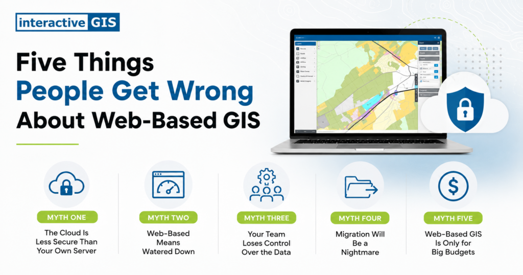
Myth One: The Cloud Is Less Secure Than Your Own Server
This myth has the deepest roots of the five. A decade or two ago, moving sensitive government data off a server down the hall and onto something hosted offsite felt like handing the keys to a building you could no longer see. Wanting tight control over infrastructure you could physically reach was a reasonable instinct at the time.
What has changed is the infrastructure itself. Established web-based GIS providers now build their systems around access controls, encryption, and redundancy that would take most local governments years and a dedicated IT staff to replicate on their own. A small server room, however well kept, rarely matches the backup protocols and monitoring that a dedicated hosting environment runs as standard practice. The data lives in a managed environment built specifically to keep it safe, often with stronger safeguards than an in-house system could realistically sustain.
Myth Two: Web-Based Means Watered Down
There is a long-standing assumption that anything running in a browser must be a stripped-down version of real software, as though convenience and capability cannot share the same platform. That tradeoff held more truth in the early days, when browser-based tools often sacrificed depth in exchange for accessibility.
Modern web-based GIS platforms have closed that gap, with layered analysis, custom symbology, outside data integration, and detailed reporting built in as standard features rather than reserved for desktop-only software. The browser is simply the door, and what sits behind it can match the sophistication of a desktop license while adding the benefit of working on any device without an installation process standing in the way.
Myth Three: Your Team Loses Control Over the Data
Handing data to a hosted platform can feel like handing over ownership, especially for staff accustomed to files sitting on a drive they manage directly. That hesitation makes sense given how protective local governments are of public data.
In practice, the organization that owns the data keeps that ownership. A hosted GIS platform is a place to store, manage, and present information, not a transfer of who it belongs to. Most platforms also build in permission settings, so departments can decide exactly who sees and edits which layers. Control does not disappear, it becomes easier to manage once permissions live in one system instead of being scattered across individual desktops and personal habits.
Myth Four: Migration Will Be a Nightmare
This one carries a grain of truth, since moving any system from one platform to another takes real effort. Nobody looks forward to re-entering years of parcel data or rebuilding workflows from scratch, and that dread alone is often enough to keep an outdated system running long past its useful life.
The difference lies in how the migration gets handled. A solid implementation plan accounts for the data a local government already has, builds a realistic timeline, and brings staff into the process early rather than dropping a finished system on their desks without warning. Migration is rarely effortless, but it does not have to be chaotic, and a provider who has done this work before can usually offer a far smoother path than starting from a blank page.
Myth Five: Web-Based GIS Is Only for Big Budgets
Web-based GIS picked up a reputation as an enterprise-level investment, the kind of system only a large city or a well-funded county could justify, and that reputation has led smaller towns to assume they are priced out before they even ask.
Cloud-based pricing tends to work the other way. Without server hardware to buy and maintain, and with many platforms scaling around actual usage, web-based GIS often costs less over time than the on-premises systems it replaces. Budget size matters less than fit, and a platform built around a community’s real needs rather than a one-size-fits-all enterprise package can make sense at almost any scale.
Where That Leaves You
Most of these myths share the same root. They were true once, and the technology moved on without sending an update, so the reputation stuck around longer than the reality that earned it.
If any of these assumptions have been shaping how your team thinks about GIS, it may be worth a second look. iGIS® was built with these exact concerns in mind, pairing the security, depth, and flexibility local governments need with the accessibility that makes everyday work easier. A 90-day demo using your own data is a low-pressure way to see where the myths end and the real platform begins.

Mapping Summer Recreation Assets for Citizens and Visitors