If CMOM reporting had a slogan, it might be something like “Important, necessary, slightly exhausting.” Most utilities know the drill. Track sanitary sewer overflows, document maintenance, keep an eye on capacity, summarize it all for NPDES, and hope nothing critical is hiding in someone’s spreadsheet or notebook. The work matters for public health and environmental protection, but the way information is collected and reported often feels like it belongs to another era.
That is exactly where GIS starts to look interesting. Let’s explore a bit more about how a map-based approach would help. The question is not whether GIS is helpful technology, the question is how it can make life easier for the people who have to live with CMOM requirements every day.
Read more to find out why GIS deserves a front row seat in any serious conversation about CMOM reporting.
A Quick and Simple CMOM Refresher
CMOM stands for Capacity, Management, Operations, and Maintenance. It is the framework that helps wastewater collection systems stay reliable, limit sanitary sewer overflows, and show that they are being run responsibly.
In practice, CMOM pushes you to answer questions like:
- Do you know what you own and where it is?
- Are you maintaining it on purpose, or mostly fixing what breaks?
- Are you watching performance so you can react to early warning signs?
- Can you prove what you did when regulators or auditors ask?
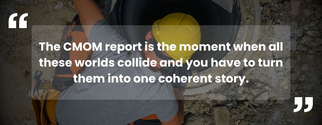
Most utilities already do some version of this. The challenge is that the information spreads out across different systems. CAD drawings sit in one place, a work order system in another, camera logs in a vendor portal, SSO records in a shared spreadsheet. The CMOM report is the moment when all these worlds collide and you have to turn them into one coherent story.
GIS Prompts Smart Questions
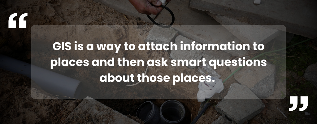
At its core, GIS is a way to attach information to places and then ask smart questions about those places. For wastewater and CMOM, that usually means tying data to manholes, pipes, basins, pump stations, and outfalls. Instead of saying “That troublesome line over by the hardware store,” you are pointing to a specific asset in a specific location that carries all of its history.
The appeal is pretty straightforward:
- Every asset lives on a map instead of in a file drawer
- Inspections, overflows, and repairs are anchored to the exact spot where they happened
- Field crews and office staff are looking at the same picture instead of trading attachments
Many communities already use GIS for parcels, zoning, address points, emergency response, or planning. Extending that same thinking to your collection system is less of a leap and more of a natural next step.
From Binders to Layers
One of the easiest ways to picture GIS for CMOM is to imagine your current binders, folders, and spreadsheets as map layers.
Picture a single basin on a map. Now imagine turning different layers on and off:
- A layer for pipe condition from CCTV inspections
- A layer for recent SSOs with cause and volume
- A layer for maintenance activities and cleaning routes
- A layer for customer complaints or odor reports
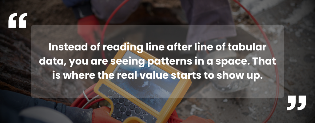
You have not changed the underlying work. You have changed how you see it. Instead of reading line after line of tabular data, you are seeing patterns in a space. That is where the real value starts to show up.
From Single Events to System Patterns

Most CMOM stories are written around individual events. An overflow here, a blockage there, a pump station failure during a big storm. Viewed one at a time, they feel like separate headaches. When you map them, they often start to look like pieces of the same puzzle.
Maybe you see that grease-related SSOs cluster around a commercial corridor. Maybe root intrusion keeps showing up in a particular age of pipe. Maybe your “mystery” capacity issues line up almost perfectly with older neighborhoods that have a lot of private inflow connections.
This shift from isolated events to visible patterns is where GIS quietly helps you move from reacting to planning. The inspections and CMOM reports you are required to complete anyway become data that point to better decisions instead of just proof that something went wrong.
From Compliance Only to Asset Strategy

Most utilities come to CMOM from a compliance angle. You need to satisfy NPDES requirements, avoid enforcement, and demonstrate due diligence. Those are good reasons. They are also the floor, not the ceiling.
Once your information is organized spatially, it becomes much easier to use CMOM data to support:
- Capital planning: which lines or pump stations truly deserve to be first in line for rehab
- Risk conversations: which neighborhoods or customers are at highest risk during wet weather
- Operations planning: where a modest change in cleaning frequency might drastically reduce problems
GIS does not fix pipes or write checks. What it does very well is show you where your attention will have the most impact. That makes every hour of maintenance and every dollar of capital feel more deliberate.
Questions That Help You Get Ready

You do not have to overhaul your entire process overnight to benefit from this way of thinking. Simply asking better questions about your data puts you in a stronger position to use GIS well:
- Do we have a reasonably complete digital inventory of manholes, mains, and pump stations?
- Where do we store SSO records, and could they be tied to specific assets or locations without too much cleanup?
- Are our inspection and maintenance logs consistent enough that we could map them without rewriting everything?
- Which parts of our current CMOM workflow feel most “hunt and gather” at reporting time?
These questions are useful even before you configure a single map. They highlight where your information is already strong and where it needs attention. GIS then becomes the environment that pulls those improvements together.
How This Connects to InteractiveGIS
For many local governments, iGIS® is already the familiar place where roads, parcels, zoning, and other community layers live. Bringing wastewater collection and CMOM context into that same environment is a logical progression.
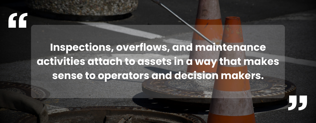
The vision is simple. Your collection system appears on the map with the same clarity as your streets and parcels. Inspections, overflows, and maintenance activities attach to assets in a way that makes sense to operators and decision makers. CMOM reporting feels less like gathering scattered pieces and more like summarizing what your maps and data already show clearly.
Looking Ahead

CMOM is not going away, and neither is the expectation that utilities can describe how they manage their collection systems. The real choice is whether that description is built out of scattered files or out of a shared picture that everyone understands.
GIS gives you that picture. Starting to think in terms of layers, locations, and patterns now makes it much easier to build a CMOM program that is not only compliant, but genuinely easier to live with.
If you are ready to explore how GIS can make CMOM reporting easier, let’s start a conversation! Reach out for questions or to request a 90-day free demo using your own data so you can authentically explore.
Other Resources:
What is CMOM for Wastewater Collection Systems?
Permit Writing Best Practices
NPDES Compliance Inspection Manual
Case Studies: PipeAid and GIS Integration
Technologies for CMOM Activities in Wastewater Collection Systems
Abstract: Analysis of sewer blockage causes using open data
Compliance Inspection Manual for National Pollutant Discharge Elimination System