
Blog Post Series Part 3: Discover Simpler, Faster Workflows with iGIS©
In this final part of our series, we explore how iGIS simplifies workflows, enabling you to

In this final part of our series, we explore how iGIS simplifies workflows, enabling you to

Explore how iGIS© simplifies data management, saving you valuable time. In this second part of our
Discover How InteractiveGIS Simplifies Your Workflow In our latest blog series, we explore how InteractiveGIS’s custom

Predictive policing powered by GIS allows law enforcement to stay ahead of crime by analyzing data,

What if your customer data didn’t just sit in a spreadsheet but came alive on an
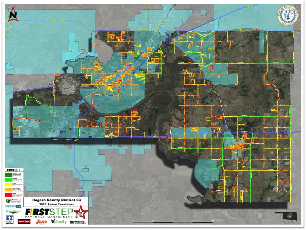
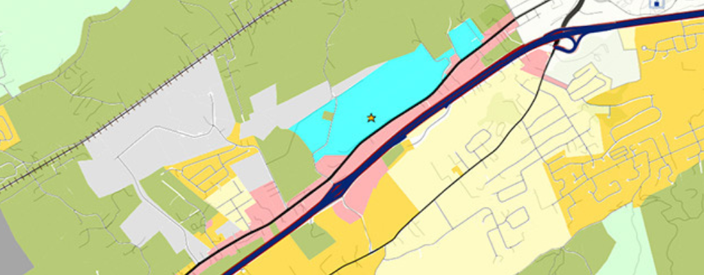
Discover how InteractiveGIS and FirstStep Pavement Management partnered to provide Rogers and Wagoner counties in Oklahoma

InteractiveGIS’s custom work order module streamlines disaster response by empowering field technicians with mobile technology, real-time

InteractiveGIS offers fully customizable GIS solutions designed to meet the unique needs of county governments. From

Explore how web-based GIS and 360-degree photo placement are transforming tourism on the Mendota Trail in

Explore how GIS technology revolutionizes the tourism industry by offering powerful tools for destination mapping, market

Explore how our web-based GIS platform revolutionizes utility product manufacturing by streamlining asset management, optimizing supply

Learn how iGIS™ software empowers counties to reduce costs, boost revenue, and enhance public services. From