
Cartographic Catastrophes: Real GIS Horror Stories
Even small data errors can cause big problems. This Halloween season, explore real GIS horror stories

Even small data errors can cause big problems. This Halloween season, explore real GIS horror stories

Managing parks efficiently takes more than effort — it takes insight. Discover how iGIS® helps city

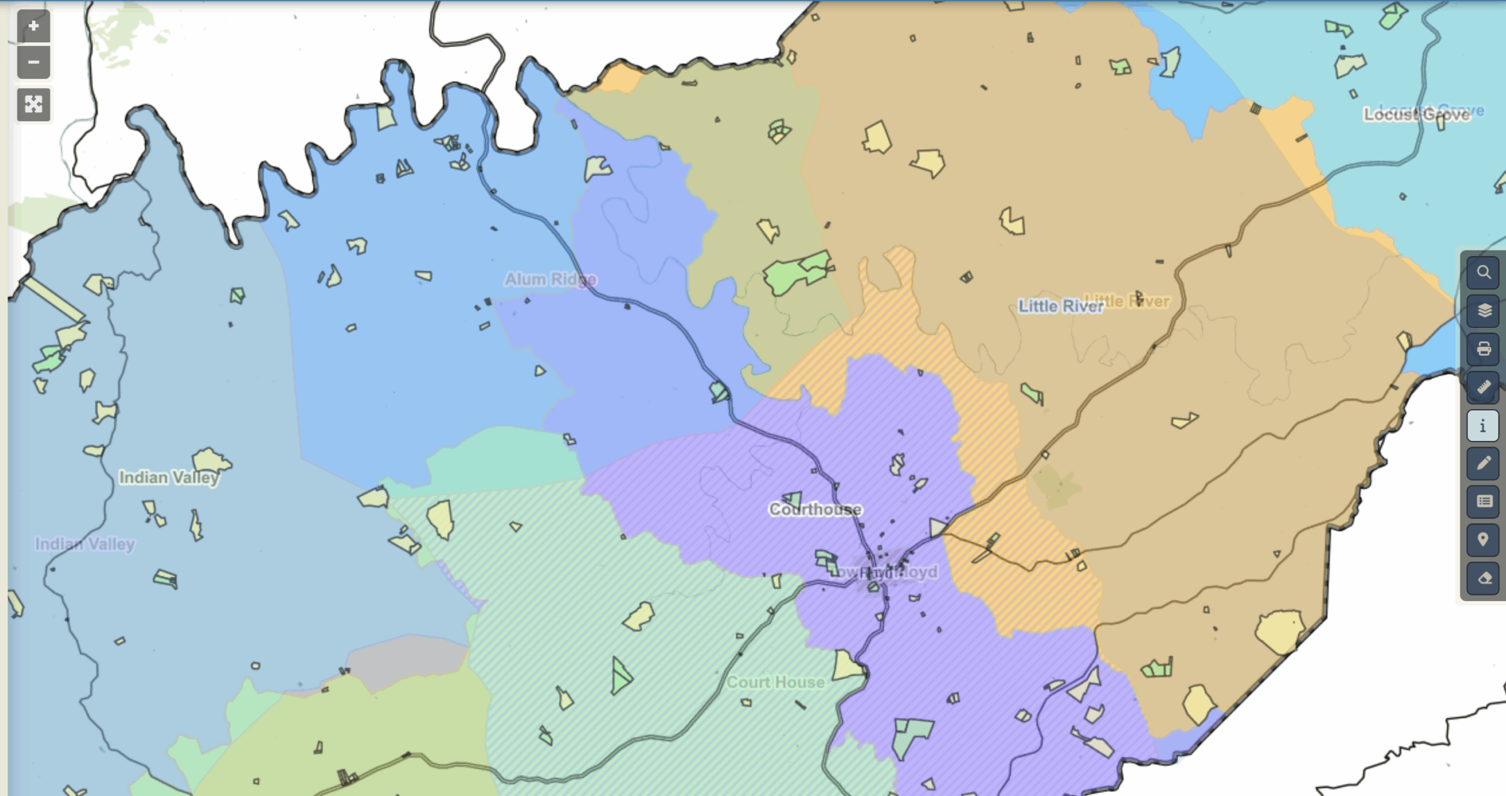
Local governments don’t struggle with having too little data — they struggle with too many versions

Customized GIS acts like a digital concierge for communities, helping towns and counties showcase seasonal events,

In fall, local governments shift into overdrive. From biweekly leaf collection to flood prevention to holiday

Smaller local governments face the same data demands as big cities — but without the IT

Autonomous GIS and GeoAI are pushing spatial analysis into a new era. Recent studies show how
Put your own data inside iGIS and see what happens. For 90 days, we’ll set up

Digital mapping isn’t just about directions — it’s the invisible infrastructure that helps rural communities run

Off-the-shelf GIS platforms make you adapt to them. InteractiveGIS builds iGIS™—a custom mapping dashboard that adapts

GIS isn’t just for big corporations. By layering demographic, traffic, and zoning data, small businesses can

Federal funding for broadband is flowing—but are your maps ready? See why parcel-level GIS is now