Making the Most of Land Cover and Conservation Layers in GIS
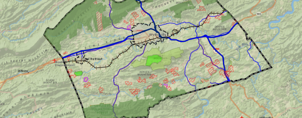
Land cover and conservation layers do more than make maps look colorful—they help local governments see

Land cover and conservation layers do more than make maps look colorful—they help local governments see

From tribal land preservation to emergency response, GIS is solving real-world problems in 2025. Here are

The new weather layer in iGIS© brings real-time radar, alerts, and forecasts directly into your maps.

Adding a live traffic layer to your GIS isn’t just about watching cars move on a

Before any flag was planted, someone had to know where to go. This Fourth of July,

Flooding and poor drainage can cost municipalities time, money, and infrastructure. Here’s why the smartest stormwater

From abandoned mines to small farms, GIS is quietly solving big challenges. These five real-world stories

Across the country, affordable housing is in short supply. Learn how local governments can use GIS

GIS is no longer just a back-office tool—it’s a practical asset for public works teams. From

Discover how American cartographers and geospatial experts played a pivotal role in the success of the

Discover how the NSDI Strategic Plan 2025–2035 is reshaping GIS nationwide. From smarter city planning to

Before broadband can be built, counties and providers need clear, accurate maps. Learn how GIS supports