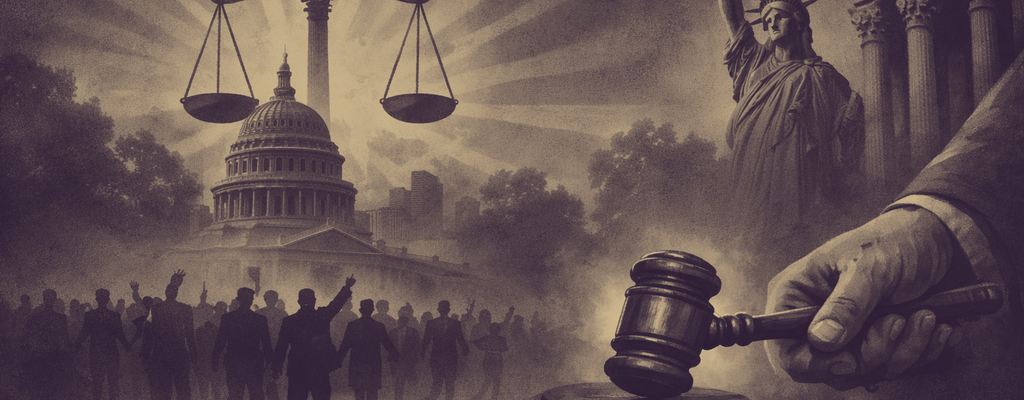
When Seeing Clearly Changes the Conversation
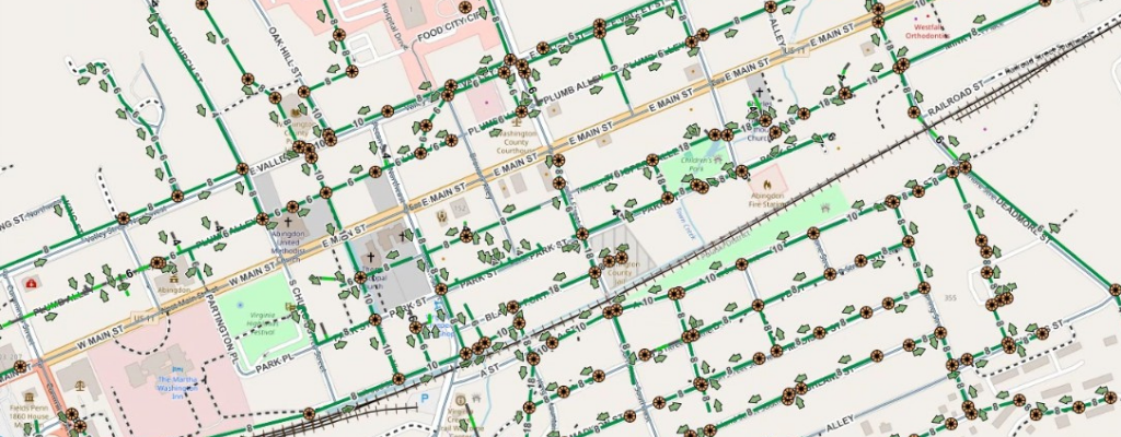
Maps don’t make arguments; they make patterns visible. This MLK Day reflection explores how GIS turns

Maps don’t make arguments; they make patterns visible. This MLK Day reflection explores how GIS turns

A familiar meeting, a hesitant room, and one map that changes everything. This story-driven post explores
A year-in-review roundup of the GIS topics that mattered most in 2025, covering public works, infrastructure,

New year resolutions for GIS often sound good and fade fast. These three practical shifts focus

Every GIS team has good intentions and a few bad habits. This holiday season, meet the

Winter slows the constant “can you make me a map” requests and exposes what your GIS
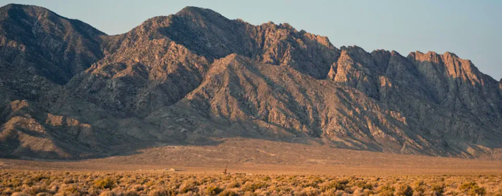
Nevada’s “Big Blind” geothermal discovery is being framed as an AI victory, but the real backbone
Thanksgiving week sends millions of people on the road at once, turning the country into a
CMOM reporting is important, but it does not have to be exhausting. This article introduces how
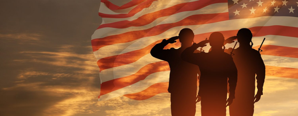
Long before digital maps and GIS, military cartographers shaped American history. From early battlefield sketches to
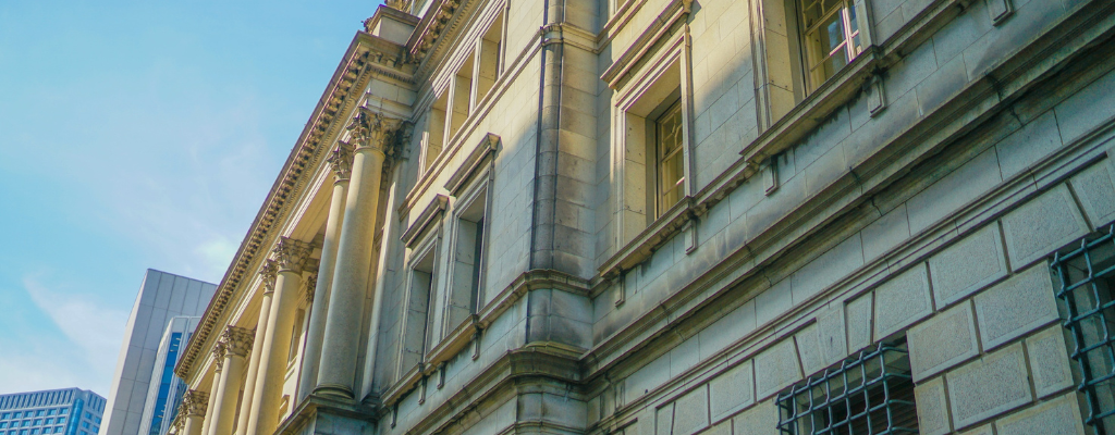
Historic buildings tell the story of a community’s past and GIS helps protect that story for
Mapping isn’t just about location, it’s about perspective. An Introduction to Geospatial Thinking and Open Source